Deforestation intensity by distance from border
ha per 1,000 ha greenstone per period
2001–2006
2007–2012
2013–2018
2019–2024
The region
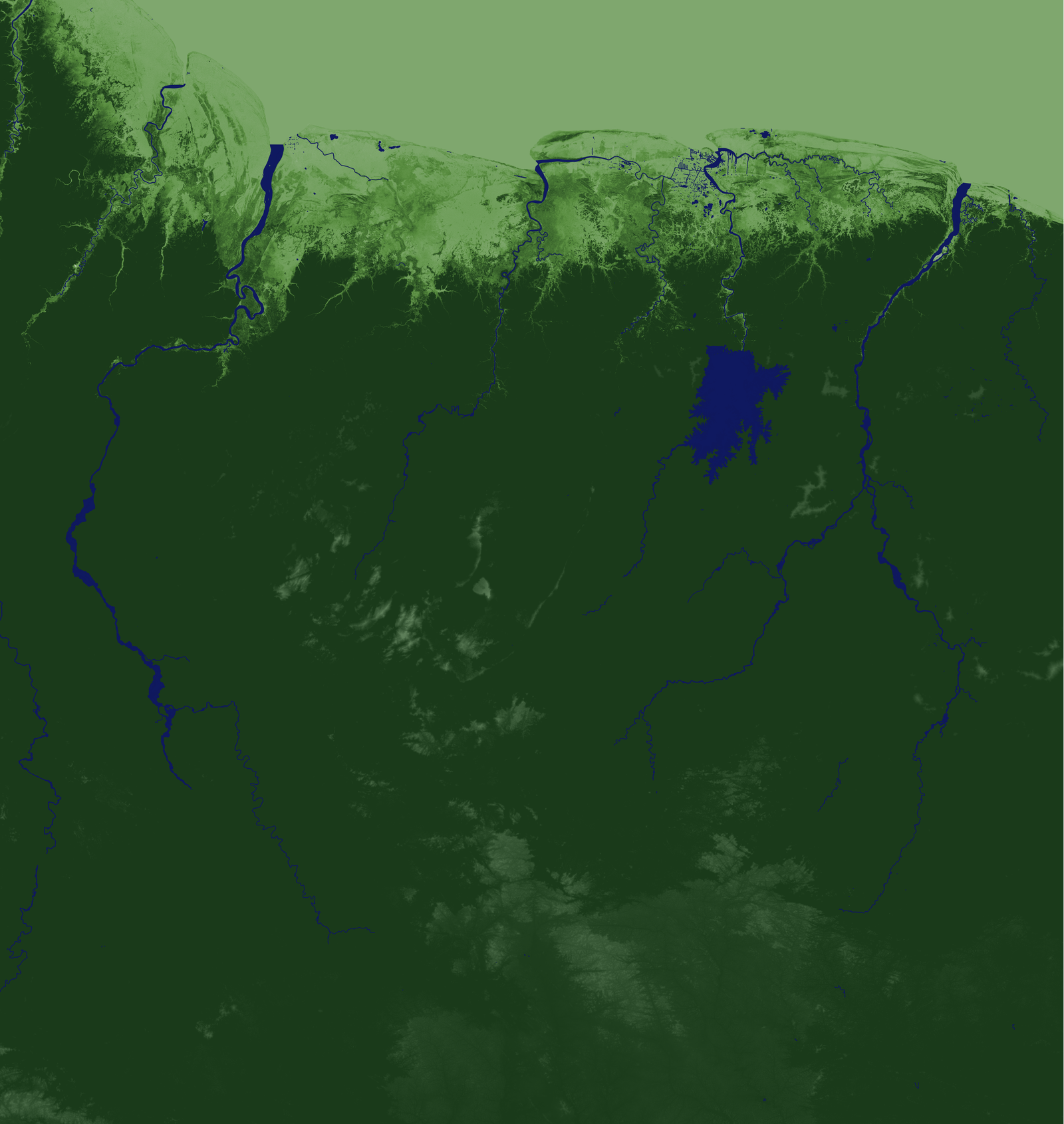
Interior Guiana Shield
One of the last great tropical forests. The interior of Suriname, Guyana, and French Guiana remains largely roadless — accessible mainly by river and air.
Geology
The Greenstone Belt
Precambrian volcanic rock formations that host alluvial and primary gold deposits. These belts are the geological driver of artisanal and small-scale gold mining (ASGM) across the Guianas.
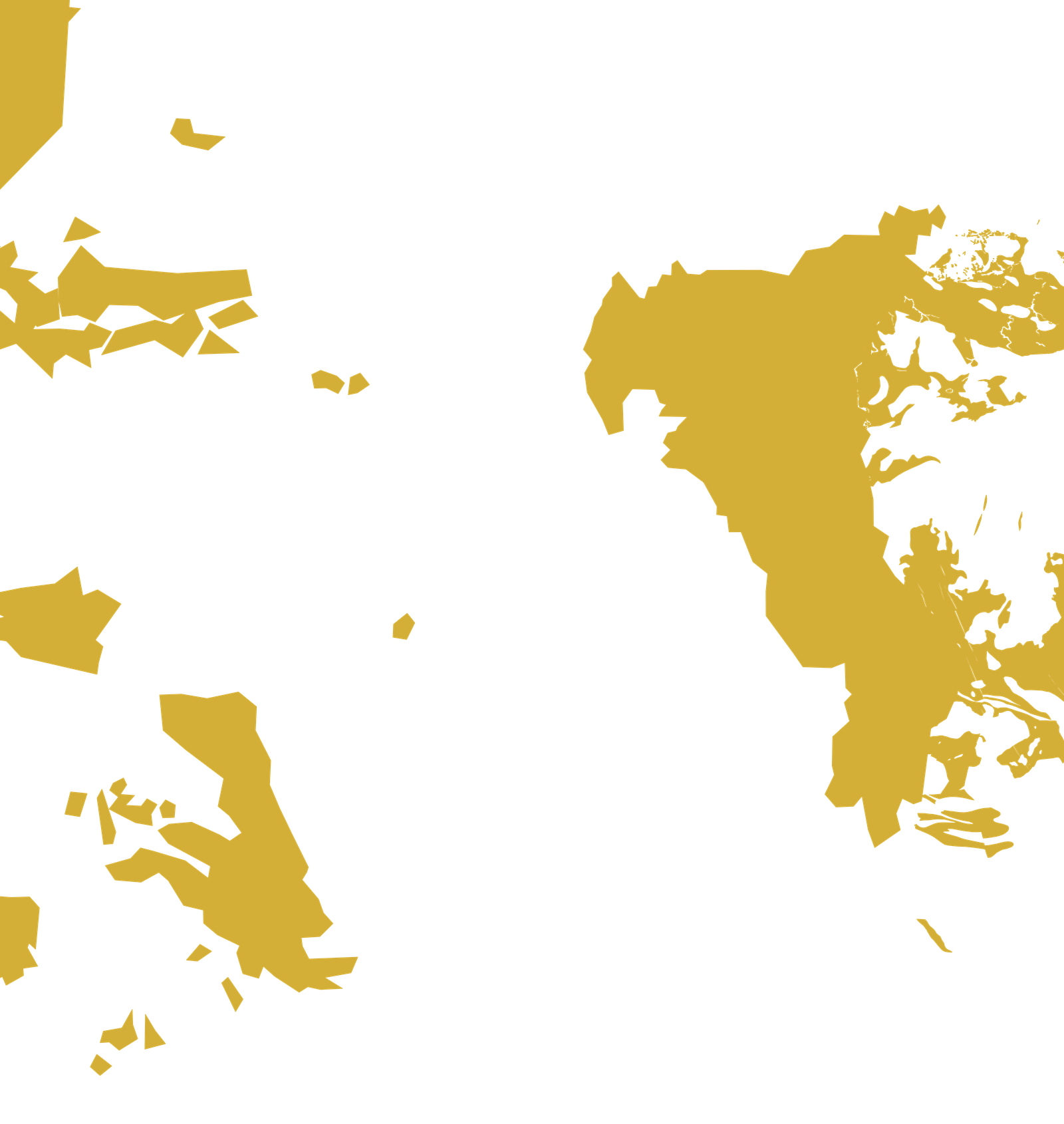
Geography
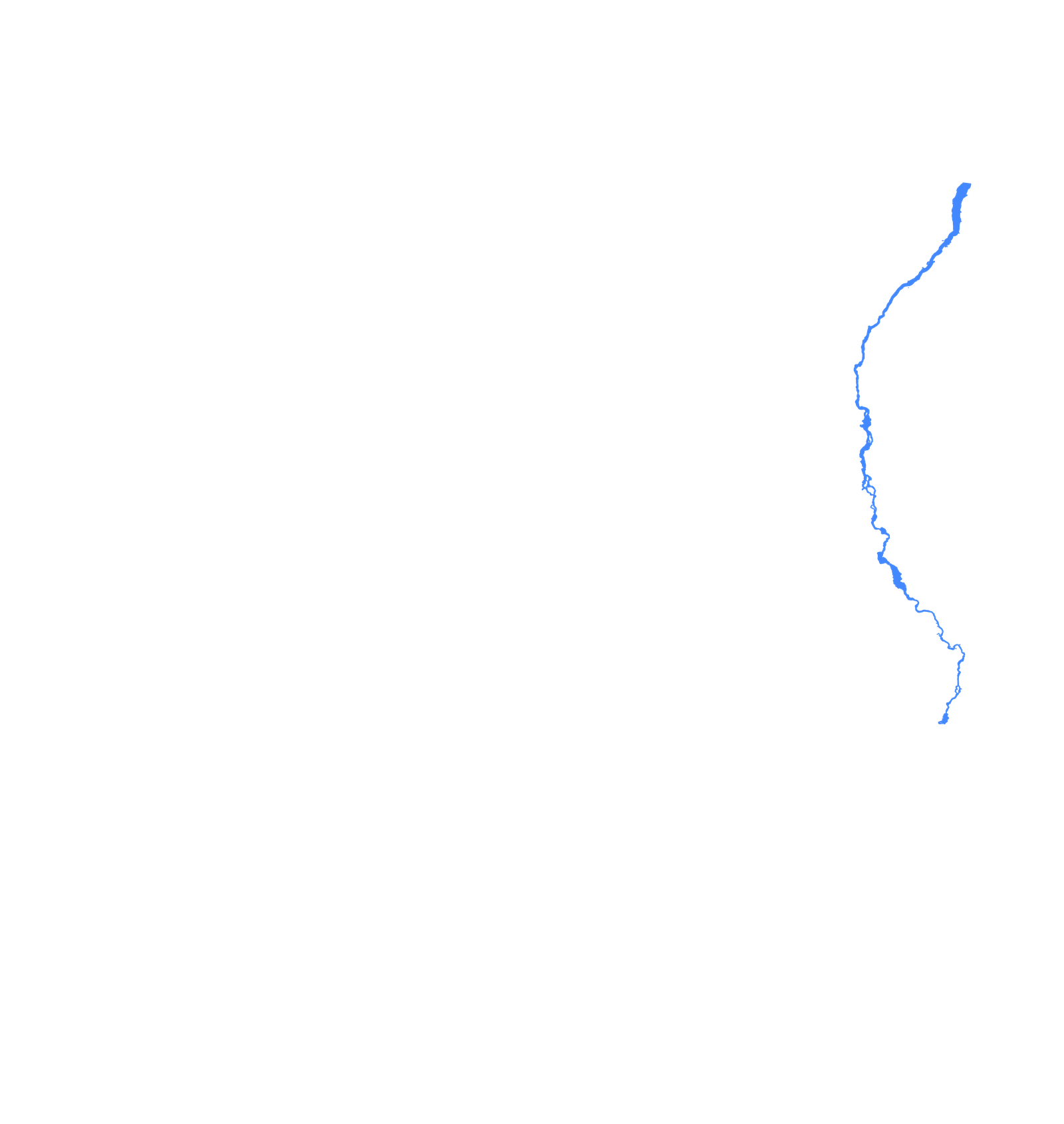
The Maroni River
The border between Suriname and French Guiana. French Guiana's EU-level enforcement pushes illegal miners (garimpeiros) westward into Suriname's unmonitored interior.
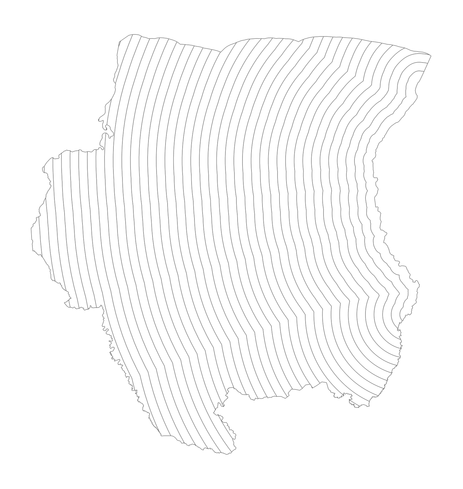
Analysis
Distance from the border
10km bands radiating from the Maroni River into Suriname's interior. Each band measures how mining deforestation intensity changes with distance from the border.
2001–2006
Early mining activity
Deforestation intensity across distance bands. Mining is present but relatively modest across the greenstone belt.
2007–2012
The gold price surge
Gold prices triple between 2007 and 2012. Mining deforestation intensifies dramatically, especially in areas closest to the French Guiana border.
2013–2018
Sustained extraction
Despite a correction in gold prices, mining continues at elevated levels. The border proximity effect becomes entrenched.
2019–2024
Acceleration
The latest period shows the highest deforestation intensity yet in border-adjacent bands. The distance-decay pattern is unmistakable: mining concentrates near the border.